What is the OS Data Hub?

Our platform provides access to all Ordnance Survey datasets through a suite of APIs and data downloads

What is OS Data Hub-1000x1000

The OS Data Hub is a data platform where you can download OS data. Using our suite of APIs and data downloads you can integrate geospatial data into your apps and solutions

Whether you’re new to geospatial or a GIS data expert, the OS Data Hub grants access to our data. Every day we make over 20,000 updates to our database and have documentation and learning resources for you to make the most out of the OS Data Hub.

Geospatial data is being used to solve some of the most challenging issues we face today, and it’s essential our data is easily accessible to all users.

What can I do on the OS Data Hub?

You can create data projects, and download APIs to access our open and premium data. We also have support guides to help you get started, and downloadable documentation across our API suite.

Using our data, you can then integrate Great Britain’s landscapes and views into your workflows. The OS Data Hub gives you access to addressing data, road networks, greenspace topography; all with full attribution to become a key component to your app, platform, project, or solution.

What are the benefits of using the OS Data Hub?

Whether you’re new to geospatial or a GIS data expert, our data platform grants access to our data

  • You have access to our most current and comprehensive GIS data platform which is updated up to 20,000 times per day

  • Geospatial data you can trust, built in either the British National Grid or Web Mercator standards

  • With our APIs and data downloads, you can access only what you need, where you need it, when you need it

  • Choose the plan that works for you. Get free access to our OpenData or upgrade to our premium plan for premium data access

What plans are available?

There are three pricing plans on the OS Data Hub

  1. The OS OpenData plan provides free and unlimited usage but with a data limit determined by the detail. The APIs can be used to view and integrate publicly accessible datasets and to understand the capabilities of the data within the OS Data Hub. Users can also download the datasets to query offline.
  2. The Premium plan provides access to premium OS datasets including OS MasterMap Topography Layer, where the requests and transactions contain a price. With our premium plan, you’ll also be able to create projects in development mode, as well as live. The OS Data Hub provides users free premium data (API transactions) up to £1,000 per month. You can also find information around how much each transaction costs (and what an API transaction is), so you can estimate the cost based on your usage, and support any budgeting. If you sign up to the Premium plan, you’ll automatically be able to access all of our free OS OpenData too.
  3. The Public sector plan is exclusive to members of the Public Sector Geospatial Agreement and includes free unlimited access to OS OpenData and premium data.

View data plans

What geospatial data can I get?

Our data platform has APIs across three broad categories; basemaps, address data, and geographic features.

APIs available on the OS Data Hub

  • OS Downloads API

    The OS Downloads API lets you script and automate your downloads of OS OpenData and OS Premium data. Save valuable time by automating the process.

  • OS Features API

    An API to filter Ordnance Survey data for buildings, roads, rivers, hospitals, playing fields, greenspaces.

  • OS Linked Identifiers API

    Access the relationships between properties, streets and OS MasterMap identifiers for free.

  • OS Maps API

    Accurate, up-to-date maps that offer the most convenient way to add detailed OS data to your application.

  • OS Match & Cleanse API

    With OS Match & Cleanse API, you’ll have instant, reliable search results to make deduping and cleansing address data easier for your business.

  • OS Names API

    A geographic directory with basic information on identifiable places. Find the closest location to a given point through the API.

  • OS Places API

    Perform accurate geocoding and reverse geocoding with our secure, scalable, and resilient address API.

  • OS Vector Tile API

    A vector tile service providing detailed Ordnance Survey data as a customisable basemap.

What is an API?

An API is an Application Programming Interface. It’s a connection between computers or between computer programs; a type of software interface, offering a service to other pieces of software. In this case, between the OS Data Hub, and your servers.

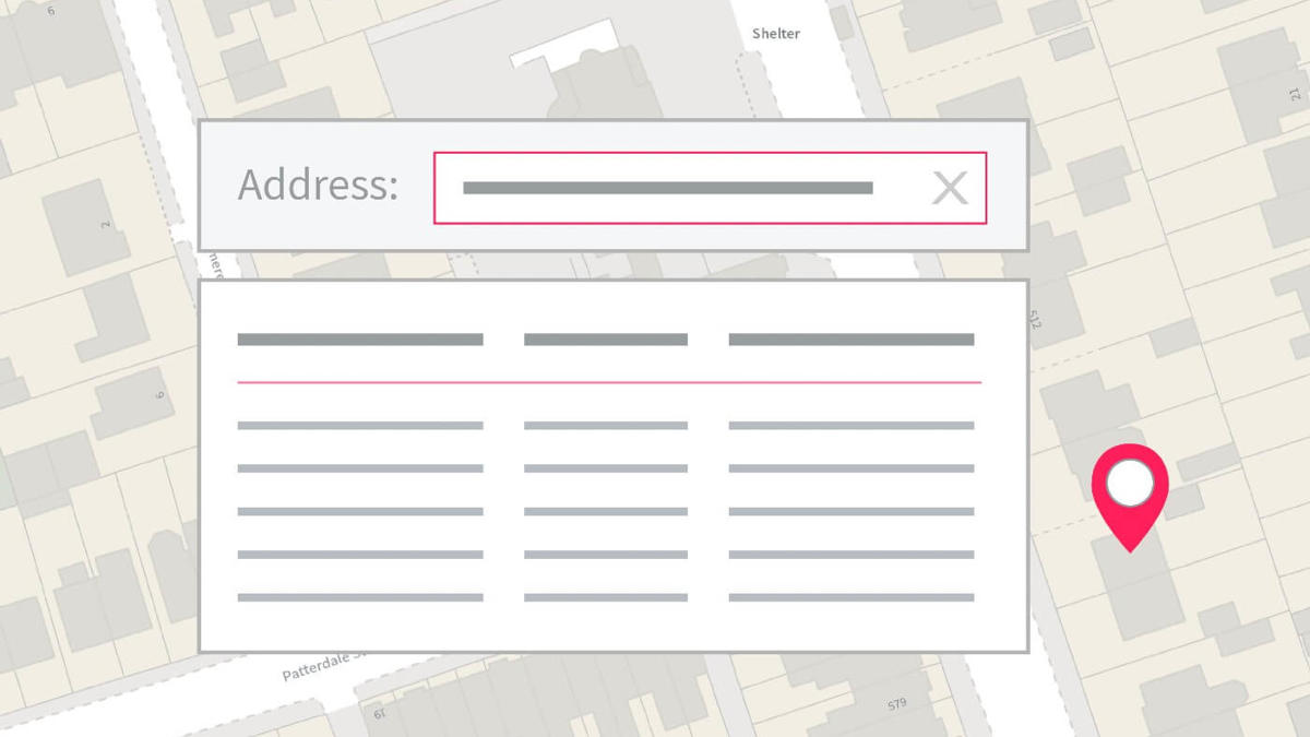
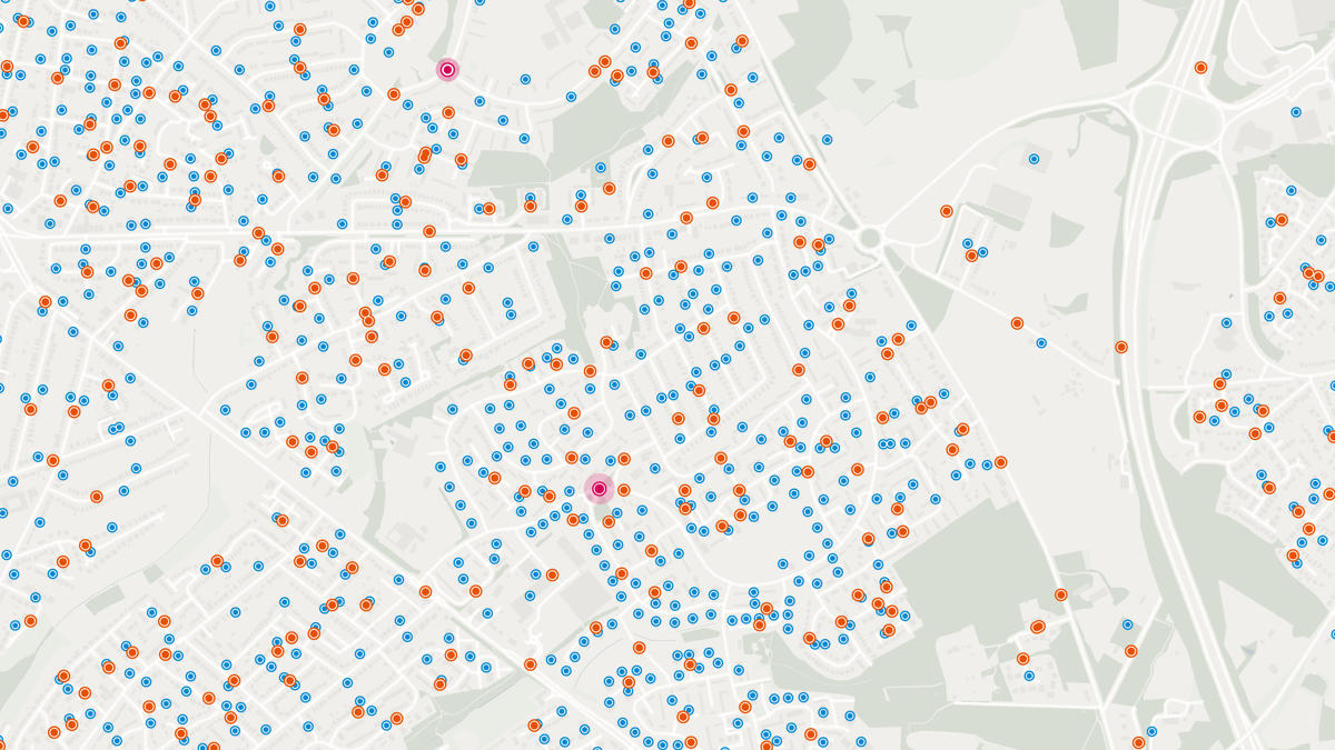
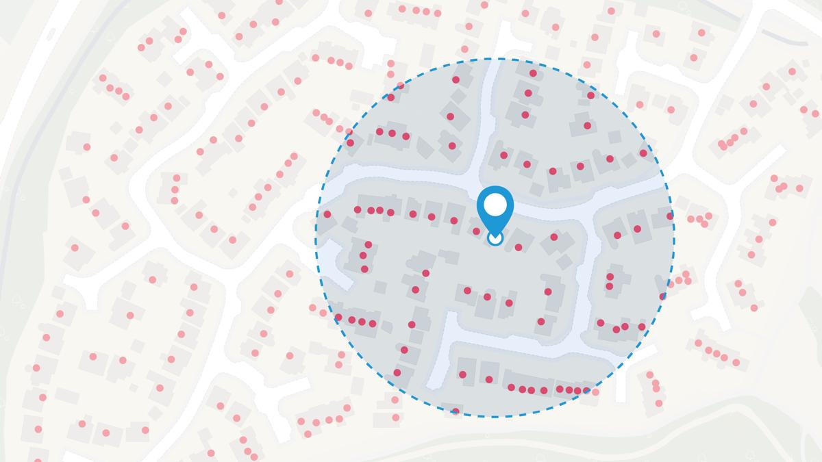
You can use APIs on your website or apps, to create maps for customer engagement. It’s very likely that you’ve already used an OS API elsewhere, and not noticed. A very basic example would be an interactive map on an About Us page, to help you find a physical location like a shop or head office. They can help customers solve queries, with potential to reduce customer contact calls.

OS APIs provide direct access to our detailed, accurate, trusted data, with a variety of functionality options. The data is updated regularly so you always have the latest view.

How do I sign up?

Visit the OS Data Hub and choose a data subscription plan that's right for you and your organisation.

Ready to get started with our data and APIs?

Choose your plan and create your account

Take the next step by signing up to the OS Data Hub and create your first project today.

Related articles