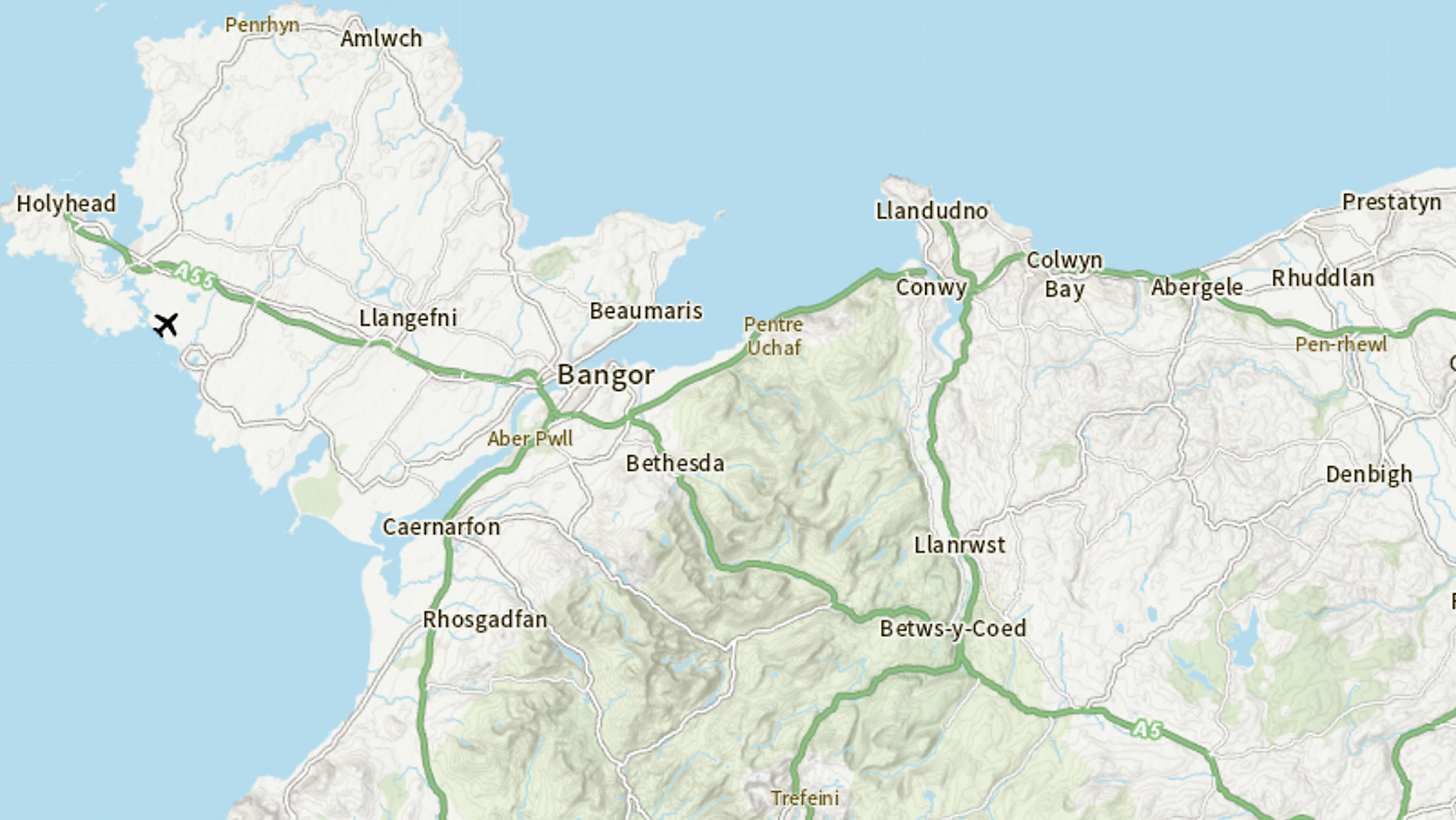
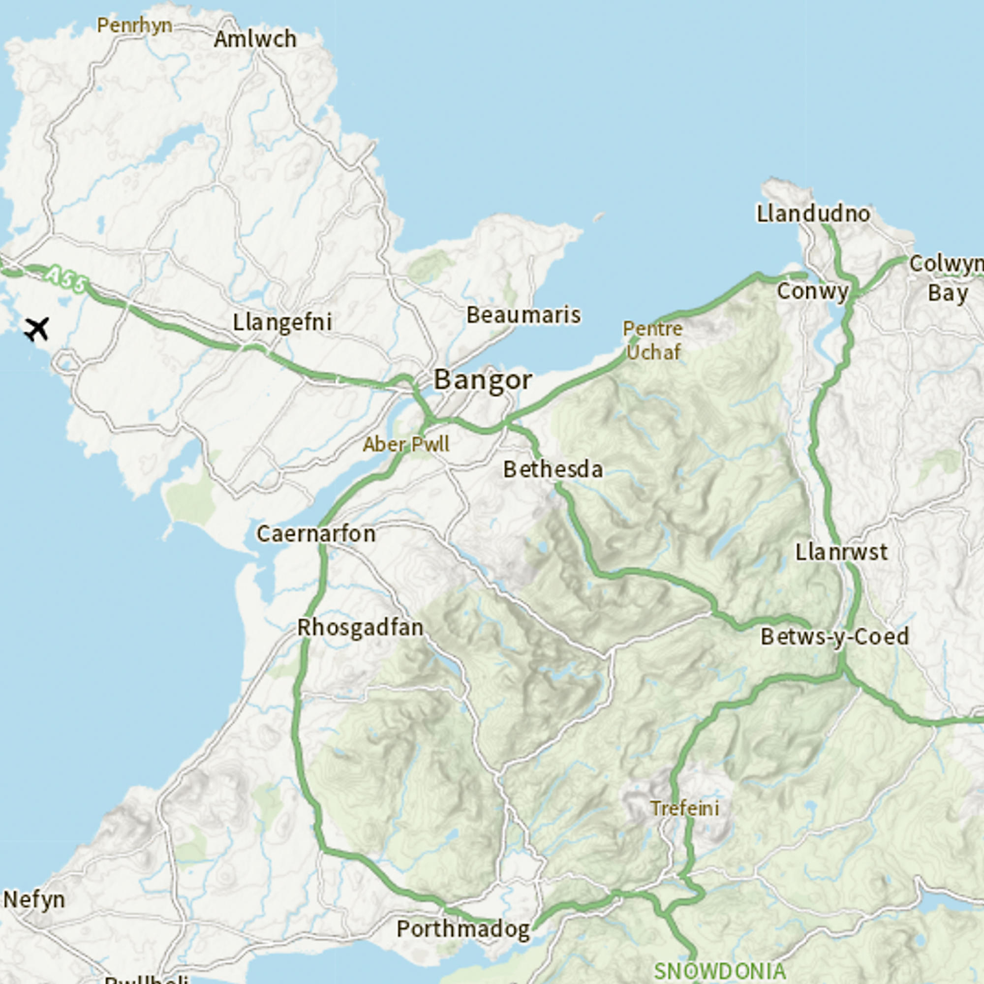
OS Maps API

Accurate, up-to-date maps that offer the most convenient way to add detailed OS data to your application. Benefit from unrivalled levels of detail in your GIS, web or mobile app. OS Maps API contains OS MasterMap Topography Layer, 1:25 000 Scale Colour Raster and more data layers.

  • Contextual or derived mapping
  • API
  • OS OpenData Plan (FREE)
  • Premium Plan
  • Public Sector Plan
  • Energy & Infrastructure Plan

This product is updated every six weeks (largest scales)

Representation of data provided

What OS Maps API provides you with

Up-to-date detailed mapping

No need to update or download the latest version - OS Maps API always provides the most up-to-date mapping in unrivalled detail, including OS MasterMap Topography Layer.

Beautiful cartography and styles

Choose from four beautifully styled map suites to fit your needs, from our iconic Leisure Maps to a more subtle Light style mapping.

Suitable for most geospatial software

OS Maps API is interoperable with most geospatial software; you can access the maps via OGC standard Web Map Tile Service (WMTS) or RESTful ZXY.

Use with GIS software and web mapping libraries

You can use OS Maps API with web mapping libraries like Mapbox GL JS, Leaflet, OpenLayers and ArcGIS API for JavaScript.

OS Maps API

Technical information

Specifications

Access
  • API
Data theme
  • Multiple
Data structure
Raster
Coverage
Great Britain
Scale
National scale to building scale (1:5,000,000 to 1:1250)
Format
  • WMTS and ZXY​
OS Data Hub plan
  • OS OpenData Plan (FREE)
  • Premium Plan
  • Public Sector Plan
  • Energy & Infrastructure Plan

Documents and Support

Getting started guides

  • OS Maps API - Getting started guide
    The getting started guide provides instructions for using the product in different software applications. Users with limited technical knowledge will be able to follow this guide.
    link

Technical specification

  • OS Maps API - Technical specification
    The technical specification provides detailed technical information about the product. It is targeted at technical users and software developers.
    link

Additional information

Available styles

OS Maps API has four map style options; Leisure, Road, Outdoor and Light.

Available projections

OS Maps API has two projection options; British National Grid (EPSG: 27700) and Web Mercator (EPSG: 3857).

OS Maps API

Get this product

What you get

Key features
  • Up-to-date detailed mapping
  • Beautiful cartography and styles
  • Suitable for most geospatial software
  • Use with GIS software and web mapping libraries
Category
Contextual or derived mapping
Access
  • API
Data structure
Raster
Update frequency
Every six weeks (largest scales)

How to access

OS OpenData APIs are free

Ready to get started with APIs?

Take the next step by signing up to the OS Data Hub and create your first project today.

Sign up to the OS Data Hub

Get this product

Access for free and benefit from using OS data

Get help

Further support

For further help about how our data can transform your organisation, contact us today

Contact us