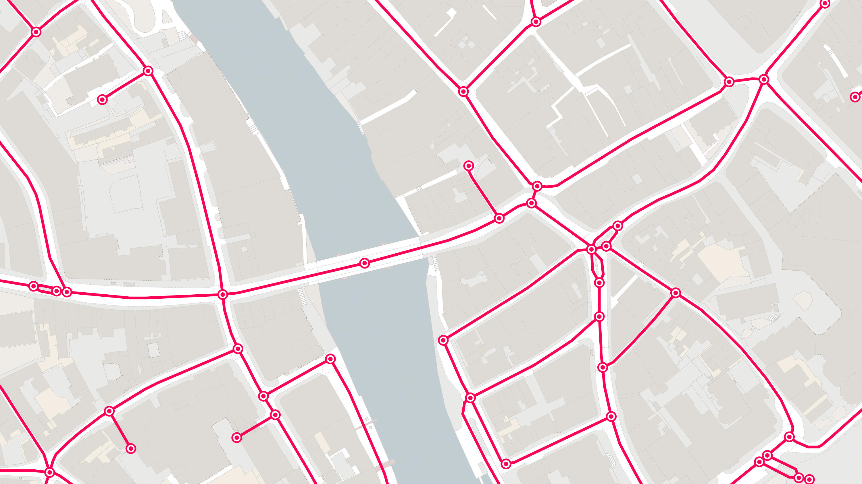
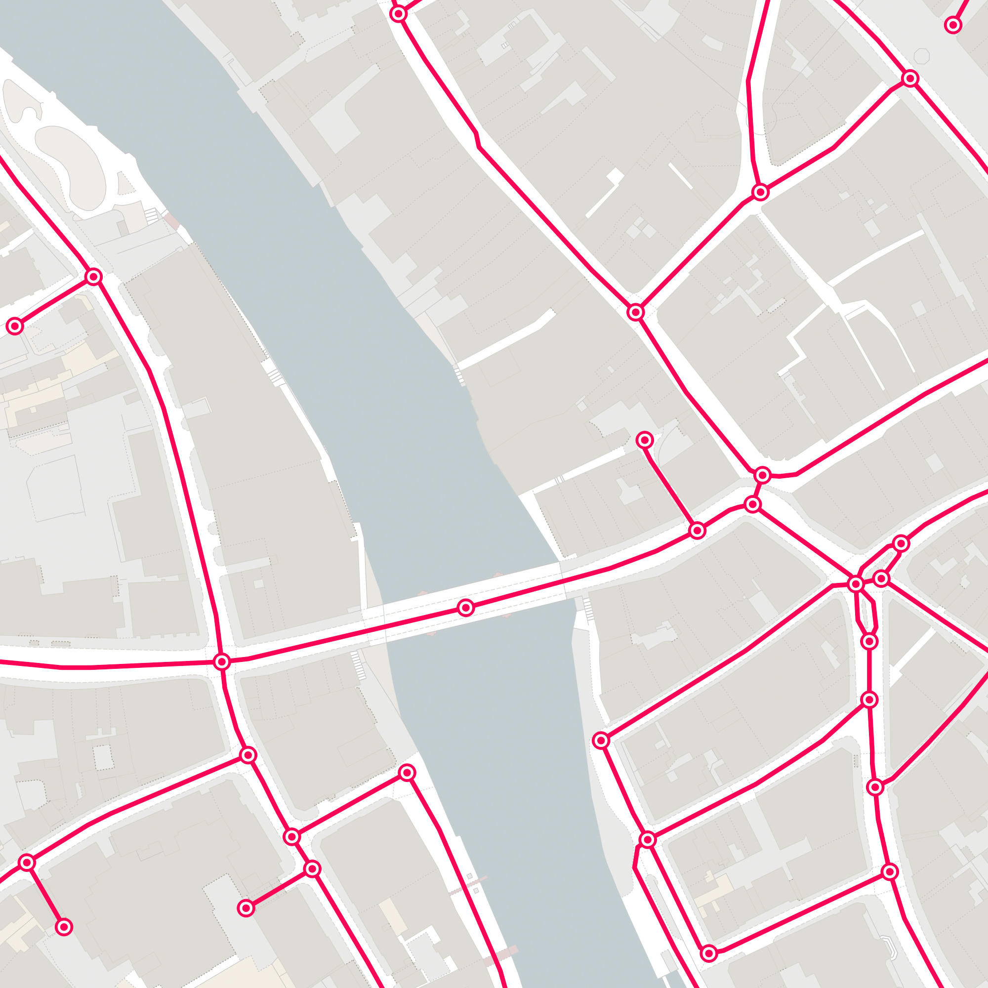
OS MasterMap Highways Network - Roads

For all highways stakeholders, OS MasterMap Highways Network is data you can trust. It draws on authoritative sources and helps underpin the common operational picture that leads to faster, better decisions.

  • Networks
  • Download
  • Premium Plan
  • Public Sector Plan
  • Energy & Infrastructure Plan

This product is updated monthly

Representation of data provided
© Crown copyright and database rights. Ordnance Survey 2024

What OS MasterMap Highways Network - Roads provides you with

Unified highways data

A common highways dataset means a common understanding of the existing network, enabling better decision and policy making.

Unique identifiers

Highly detailed road geometry supplied with essential unique identifiers, including the Unique Street Reference Numbers (USRNs) and topographic identifiers (TOIDs) enables linking and sharing of data against the road and street networks.

Future proofed data

Get detailed information about planned roads and roads under construction helping you to better understand the roads of today and the roads of tomorrow.

Comprehensive and authoritative

OS MasterMap Highways Network - Roads combines high-quality, accurately surveyed data with features from the National Street Gazetteer; the Local Highways Authorities road name, numbering and maintenance; the Trunk Road Street Gazetteer collected by Highways England and Welsh Government; and the Scottish Street Gazetteer containing information from Scottish local authorities and Transport Scotland.

Try this product with free sample data

Give it a try

Download a small area of OS MasterMap Highways Network - Roads .

Or try out the real thing by applying for a Data Exploration Licence

Need more technical information?

Read product guides, technical specification and further documents and support.

OS MasterMap Highways Network - Roads

Technical information

© Crown copyright and database rights. Ordnance Survey 2024

Specifications

Use cases

OS MasterMap Highways Network - Roads can be used for:

  • source for legal road identifications
  • costings or benefits of road policies
  • calculating funding allocations
  • evidence-based policy making
  • journey and transport planning
  • emergency service planning
  • enforcement regulation
  • traffic statistics
  • school allocation
  • smart cities
Access
  • Download
Data theme
  • Transport
Data structure
Vector - Topologically structured link and node network
Coverage
Great Britain
Scale
1:1250 to 1:10,000
Format
  • GML 3.2.1
  • GeoPackage
  • Vector Tiles
Ordering area
  • All of Great Britain or customisable area (user defined polygon)
OS Data Hub plan
  • Premium Plan
  • Public Sector Plan
  • Energy & Infrastructure Plan

Documents and Support

Getting started guides

Technical specification

Supporting documents

  • OS MasterMap Highways - Playbook
    This playbook provides simple ways to tackle common questions about OS MasterMap Highways.
    pdf
    v1.5
    1,040 kb
    February 5, 2018
  • Getting started with vector tiles
    This guide will help you to get started using vector tiles (MBTiles) – lightweight tiles that are efficient and quick to render in your software, letting you create customised, high-resolution, beautiful mapping.
    pdf
    v1
    845 kb
    September 23, 2022
  • Getting started with GeoPackage
    This guide helps you to get started using GeoPackage - a lightweight format that can contain large amounts of complex data in a single, easy to distribute and ready to use file.
    pdf
    v2
    1.11 mb
    September 30, 2021
  • Product refresh dates
    Find out the update frequencies of our premium products and the calendar months that they are updated.
    link
  • Guide to routing for the public sector
    This document is a guide to the basics of route analysis for Public Sector organisations.
    pdf
    v1
    1,287 kb
    March 28, 2019
  • Use of NSG and OS Data
    This document isa briefing note on the use of the National Street Gazetteer (NSG) and Ordnance Survey Data.
    pdf
    v1
    97.6 kb
    May 23, 2023

Release notes

OS MasterMap Highways Network - Roads

Get this product

What you get

Key features
  • Unified highways data
  • Unique identifiers
  • Future proofed data
  • Comprehensive and authoritative
Category
Networks
Access
  • Download
Data structure
Vector - Topologically structured link and node network
Update frequency
Monthly

Try this product with free sample data

Give it a try

Download a small area of OS MasterMap Highways Network - Roads .

Or try out the real thing by applying for a Data Exploration Licence

How to access

Businesses

Ordnance Survey's commercial network of Partners can help you with bespoke location solutions, derived from OS data

Ranging from global giants to single entrepreneurs, our Partners all use our location data to create innovative products and services. Their expertise ensures customers can benefit from using our data for a range of services. Find a partner for network mapping requirements.

Find a Partner

Developers

Ready to get started with our data and APIs?

Choose your plan and create your account. Take the next step by signing up to the OS Data Hub and create your first project today.

Sign up to the OS Data Hub

Our Partners

Download Premium data from the OS Data Hub

If you're an OS Licensed Partner you can use the OS Data Hub to access OS data products and manage your account all in one place.

Read guidance for Partners

Government and public sector

OS Data Hub for PSGA members

If your organisation is a member of the Public Sector Geospatial Agreement, access the OS Data Hub to access our products.

Go to the OS Data Hub

Utilities and Telecoms

OS Connect support

Our Ordnance Survey Account Managers have specialist knowledge of projects for utilities and telecoms customers and should be your first point of contact for product enquiries.

Find OS Connect support

Get help

Further support

For further help about how our data can transform your organisation, contact us today

Contact us