Location data for emergency services

Using geospatial data and services to support a resilient Britain

scottish-fire-rescue

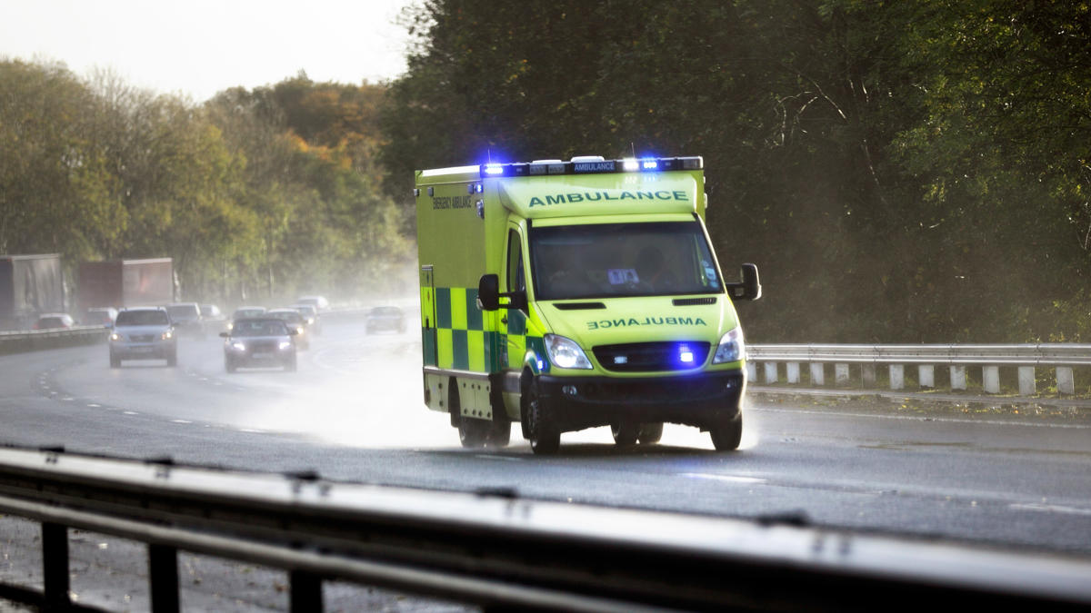
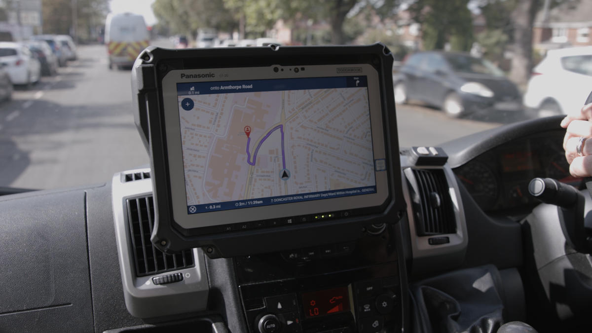
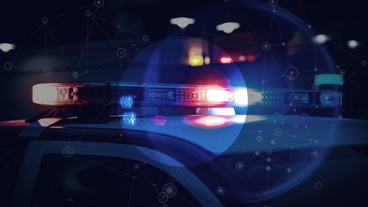
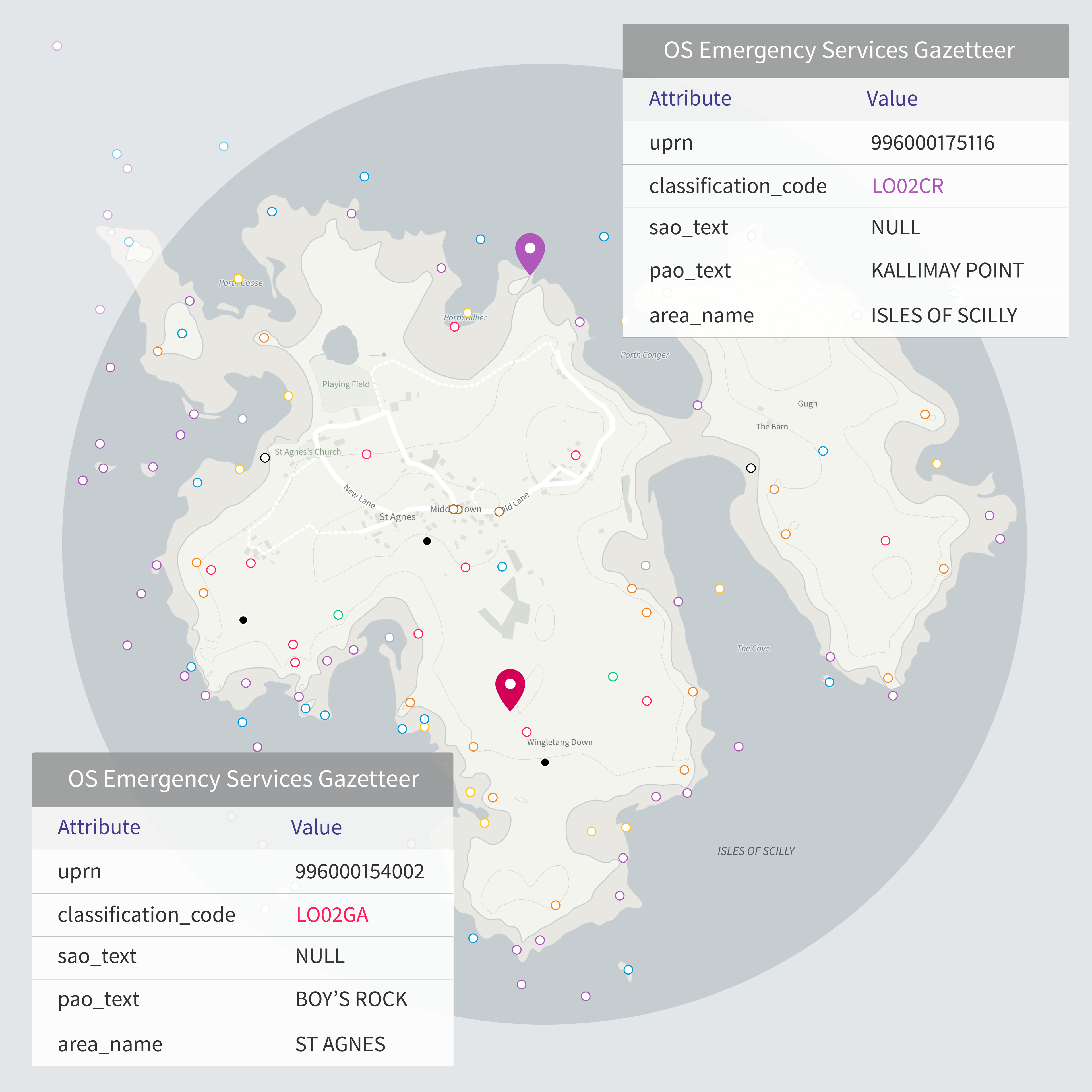
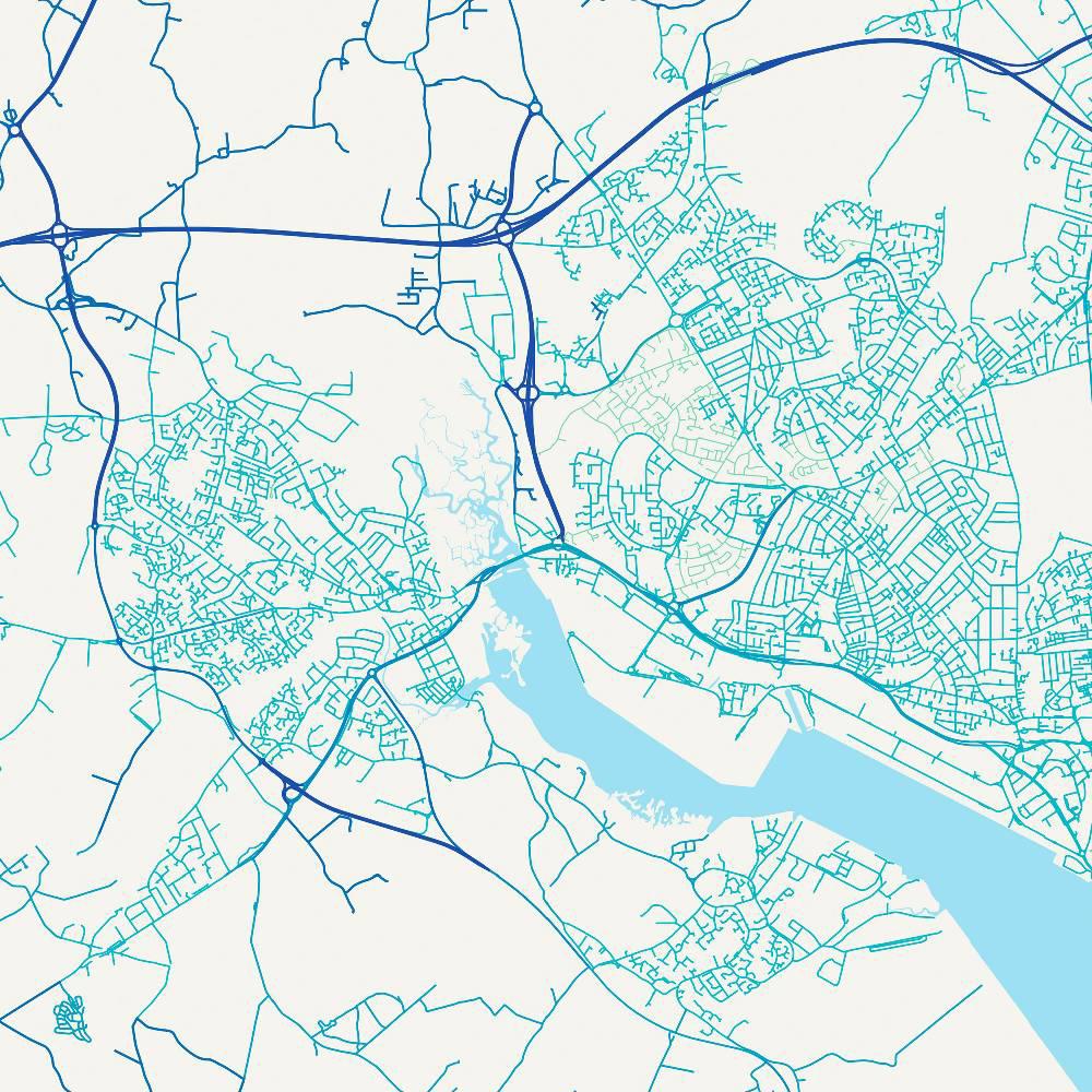
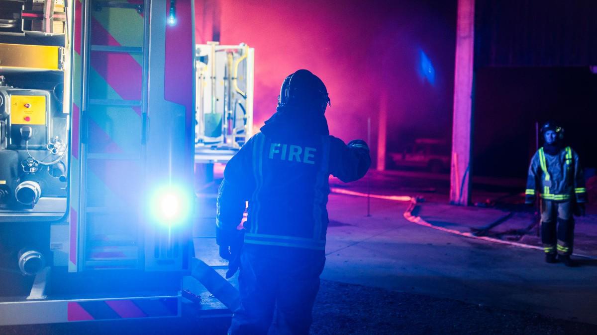
Police, Fire and Ambulance, or ‘Blue-lights services,’ are the key members to our resilience community and through the Public Sector Geospatial Contract (PSGA) they use a range of OS data to help keep our communities safe. This data helps them to enhance their services and increase the accuracy of their own location data; lessening delays and getting people the support they need, in that critical moment they need it most. 

Ordnance Survey has a long and proud history of supporting the emergency services and responsive agencies, in planning their responses and securing a safer future.

Read our emergency services case studies

Mapping for Emergencies

  • Emergency mapping service for PSGA members

    Mapping for Emergencies (MfE), a service available to PSGA members, is accessible for free at any time as support to our resilience community. We will provide geospatial support during any emergency or major incident, delivered by OS’s expert analysts, provided remotely or at your location.

  • Supporting emergency services delivering events

    We have played a critical role in the planning and delivery of several national events, supporting emergency services on the London 2012 Olympics, Glasgow 2014 and Birmingham 2022 Commonwealth Games and the 2017 G7 Summit in Cornwall.

OS Emergency Services Gazetteer

The OS Emergency Services Gazetteer (ESG)

The OS Emergency Gazetteer is a recent offering from OS, providing a comprehensive and maintained database of locations to support our blue-lights services.

The Gazetteer, or geographical dictionary, contains 1.3 million features (names, places and objects) and is used alongside a map to identify locations with no fixed addresses, like named cliffs, waterfalls, road junctions and roundabouts.

Developed in close collaboration with our customers, it is designed to equip responders with precise location information, to act quickly during emergencies.

The Gazetteer will provide a single, unified source of truth, one that will continue to adapt and grow as new information is added over time.

Find out about the OS ESG
OS Data Hub

The Vernacular Names tool

The Vernacular Names tool, available in the OS Data Hub, helps emergency services pinpoint a location instantly using colloquial and alternative local names given to places and objects.

Vernacular names have been historically captured by emergency services call handlers when they struggle to find a location to deploy to. We created the Vernacular Names tool as a means for these experts to capture and share names data where there is no authoritative source.

The tool is available exclusively for emergency services and support rescue services and can be used to help foster better communication during multi-agency incidents, saving precious time and potentially lives.

Access the Vernacular Names tool